GIS data is a collection of geographical data that can be used to create maps and perform analyses.
This data can be in points, lines, or polygons and sourced from GPS devices, aerial photography, or ground surveys. GIS Data is often stored in a spatial database, allowing for quick and easy information retrieval.
GIS data can be used for various purposes, such as planning infrastructure projects, analyzing crime patterns, or studying the spread of diseases. Maps created with GIS data can be used to visualize information and make better decisions about where to allocate resources. GIS has become an essential tool for understanding our world with its many applications.
Ways to collect GIS data
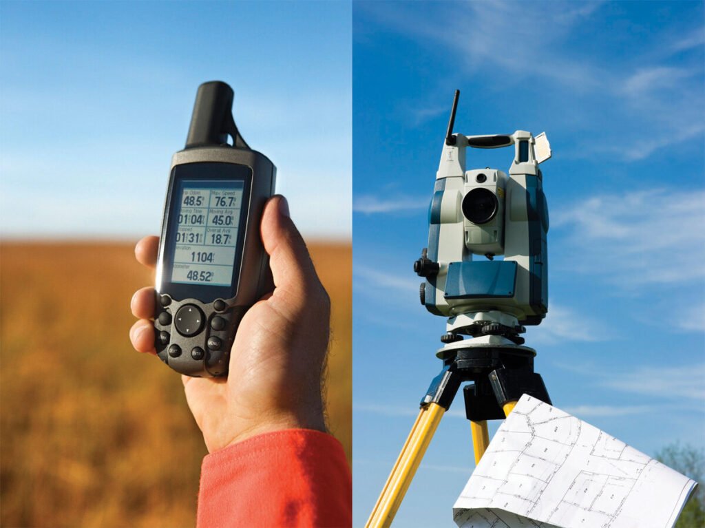
There are a variety of ways that GIS data can be collected, depending on the project and the data that is needed. One standard method is field data collection, where data is gathered directly from the source using GPS units or other tools. This data can then be input into a GIS system for analysis.
Another way to collect GIS data is through remote sensing, where images and other information are gathered from satellites or aircraft. This data can be used to create maps and 3D models of an area and gather information about land use and cover.
GIS data can also be collected from existing databases or crowdsourcing, where people contribute their data to a central repository. This data can fill in gaps in other datasets or provide real-time information about an area.
Benefits of using GIS data
There are many benefits of using GIS data. One benefit is that it can improve the accuracy of mapping projects. Using GIS data, maps can be more accurate and show more detail. This is important for projects such as land use planning and infrastructure development.
Another benefit of using GIS data is that it can help to save time and money. For example, if a corporation wants to develop a new factory, it can use GIS data to find the best location for the factory. The business can save time and money, as they will not need to do as much research.
Finally, using GIS data can also help to protect the environment. This is because GIS data can be used to plan developments to minimize the impact on the environment.
The types of GIS data
There are many types of GIS data, but the most common are raster and vector data. Raster data is made up of points, or cells, that each contains a value. Polygons, lines, and points make up vector data. Each point has x and y coordinates that tell you its location. Lines have start and end points, and polygons have multiple points that create the shape of the polygon.
GIS data can map anything from election results to crime rates. You can even use GIS data to find the best route for a road trip! The possibilities are endless.
Conclusion:
A geographic information system (GIS) is a valuable tool that can be used to analyze, visualize, and manage data. With a GIS, you can easily see patterns and relationships that would be difficult to discern using other methods. If you need to decide where to locate new facilities or how to serve your customers best, a GIS can help you find the answers.
Suggested reads:
Picuki: Instagram editor and viewer

